C&O Mile 105 - 130: Fort Fredrick & Hancock
C&O Mile 105 - 130: Fort Fredrick & Hancock
C&O Mile 105 - 130: Fort Fredrick & Hancock
C&O Mile 160 - 184: Cumberland
Tags on this page: C&O Canal, Western Maryland Scenic Railroad, Canal Place, Cumberland, Bike Touring, Bike Packing, Great Allegheny Passage
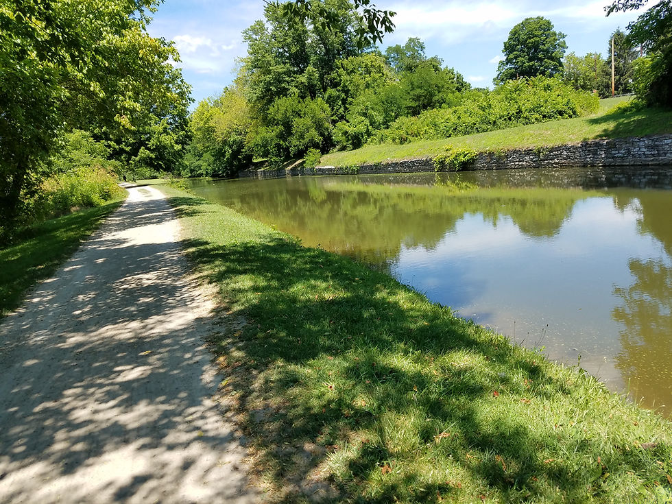
This section features a very nice rewatered section of the canal called Battie Mixon which runs from the Town Creek aqueduct 4.5 miles to just past Oldtown. Oldtown has a small recreation area and some limited services.
The rest of the ride is interesting with the towpath riding through forests, fields and urban backyards. There is a nice campground at Spring Gap.
Riders will be treated to a panoramic vista of Cumberland and the Potomac River as they near the city center. At Canal Place, the C&O ends and the Great Allegheny Passage begins on its 150 mile journey to Pittsburgh. Hotels, B&B’s restaurants, bike shops and multiple services are all available within a quick ride or walk from Canal Place.

Western Maryland Scenic Railroad photo by Tyler Clayton

Western Maryland Scenic Railroad photo by Tyler Clayton
Riders will be treated to a panoramic vista of Cumberland and the Potomac River as they near the city center. At Canal Place, the C&O ends and the Great Allegheny Passage begins on its 150 miles to Pittsburgh. Hotels, B&B’s restaurants, bike shops and multiple services area all available within a quick ride or walk from Canal Place.
There is a very nice canal museum located at the Western Maryland Station at the Canal Place visitors center, and the Allegany Museum located across Mechanic Street from Canal Place is worth the visit.
Canal Place is also home to the Western Maryland Scenic Railroad, which operates scenic steam and diesel train rides in the Allegheny Mountains between Cumberland and Frostburg, Maryland.
Heading 1
Interactive map
How to use the map: The map below contains points of interest for this section of the trail! Click the upper left hand button to see a menu with a list of all points. Items on this map are grouped by Category or trail, and can be toggled on or off through this menu to get a better picture of a specific category of options. All items contain their description from the table below, as well as google-maps information as availble. Click on the upper right hand button to view the map in greater detail.
How to use the table: The table below contains points of interest for this section of the trail! Click on the heading of each section in order to get a sorted list of items (i.e. see all items by Mile on the trail, or all places with Food.) The upper right contains a search bar -- use this to find all items with a specific word (i.e. all 'locks' or all 'attraction'). All items below also exist on the map above, grouped and labeled by type for clarity and convenience.


